























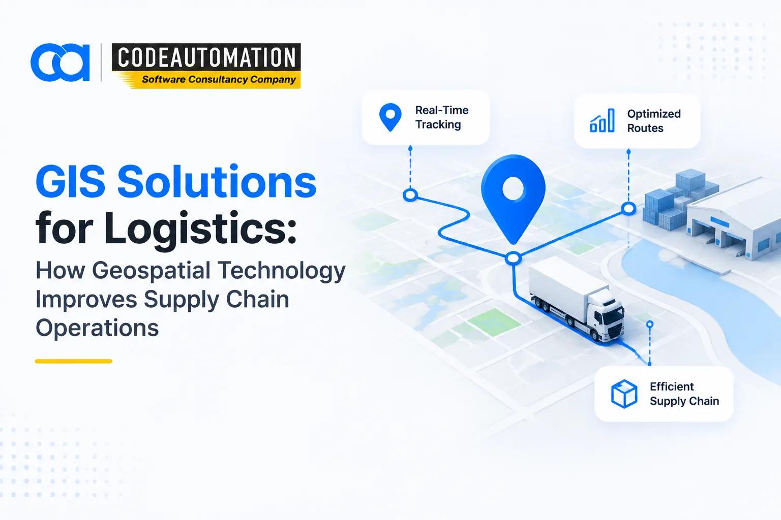
GIS Solutions for Logistics: How Geospatial Technology Improves Supply Chain Operations
Published 18/09/2026
Modern logistics networks operate across increasingly complex geographic environments. Congestion, delivery windows, fuel costs, dispersed warehouses, changing customer demand, and real-time disruptions make static logistics planning difficult.

Ready to Automate Your Success?
From AI-powered applications to scalable software development, we help businesses automate workflows and accelerate growth.
Book a Free ConsultationModern logistics networks operate across increasingly complex geographic environments. Congestion, delivery windows, fuel costs, dispersed warehouses, changing customer demand, and real-time disruptions make static logistics planning difficult.
GIS solutions for logistics address these challenges by connecting operational data with geographic context. GPS positions, road networks, traffic conditions, customer locations, warehouses, and shipment data can be analyzed together to improve routing, fleet visibility, delivery planning, and supply chain decisions. Modern GIS platforms can also combine real-time feeds and spatial analytics to provide a continuously updated operational view.
What Are GIS Solutions for Logistics?
GIS solutions for logistics are geographic information systems designed to collect, visualize, analyze, and act on location-based transportation and supply chain data.
Instead of treating logistics data as isolated records, GIS adds a spatial dimension. A shipment is not simply an order ID; it has an origin, destination, route, ETA, geographic constraints, and relationships with roads, facilities, customers, and other shipments.
Logistics GIS can combine digital maps, GPS telemetry, road-network datasets, traffic information, warehouse locations, delivery addresses, and spatial analytics. This enables logistics teams to understand not only what is happening but also where it is happening and how location affects operations.
Traditional logistics software primarily manages operational workflows such as orders, shipments, inventory, and transportation processes. GIS-enabled solutions add location intelligence, network analysis, spatial relationships, and geographic visualization.
Why Logistics Companies Use GIS Technology
Logistics companies use GIS technology to:
- Improve route planning and vehicle utilization
- Monitor fleet and asset locations in real time
- Analyze delivery territories and service areas
- Allocate vehicles, drivers, and resources geographically
- Identify bottlenecks and geographic patterns
- Support data-driven transportation decisions
Advanced route optimization can account for multiple stops, travel modes, road restrictions, time windows, and changing traffic conditions rather than relying on simple shortest-distance calculations.
How Does GIS Work in Logistics Operations?
A typical logistics GIS workflow can be represented as:
Location Data Collection → Spatial Analysis → Route and Resource Optimization → Operational Decision Making
Collecting Location and Transportation Data
GIS platforms ingest location and transportation data from multiple sources, including:
- GPS tracking devices
- Vehicle and fleet telemetry
- Customer addresses
- Warehouse and distribution-center locations
- Traffic and road-network data
- IoT devices and operational systems
Real-time GIS can process streaming location information and display asset status, movement, routes, and operational events through dashboards.
Analyzing Geographic Data
Once collected, geographic data can be processed using spatial analytics techniques such as:
- Distance and travel-time analysis
- Route evaluation
- Origin-destination analysis
- Service-area analysis
- Location pattern detection
- Delivery territory analysis
These analyses help identify inefficient routes, underserved areas, geographic bottlenecks, and opportunities for better resource allocation.
Creating Logistics Insights
The final stage converts spatial analysis into operational intelligence, including:
- Optimized transportation routes
- More accurate delivery predictions
- Fleet visibility
- Geographic performance metrics
- Improved resource allocation
The result is a logistics environment where location data directly informs operational decisions.
Key GIS Applications in Logistics
Route Optimization and Planning
GIS can calculate shortest or fastest routes while considering traffic, road restrictions, vehicle characteristics, delivery windows, and multiple stops.
For complex fleets, network-analysis algorithms can determine optimal stop sequences and vehicle assignments rather than simply selecting the shortest geographic path.
This can reduce unnecessary mileage, travel time, idle time, and route inefficiencies.
Fleet Tracking and Management
GIS provides a geographic view of fleet operations by combining GPS telemetry with interactive maps and operational dashboards.
Managers can monitor vehicle positions, analyze historical routes, evaluate driver or vehicle performance, track assets, and establish geofences for automated alerts.
Delivery Management and Last-Mile Optimization
Last-mile operations involve high geographic complexity because deliveries are distributed across numerous addresses and often constrained by delivery windows.
GIS supports delivery scheduling, customer-location analysis, territory segmentation, route optimization, and ETA analysis. These capabilities help logistics teams address the geographic bottlenecks that frequently affect final-mile fulfillment.
Warehouse and Distribution Planning
GIS can analyze warehouse locations against customer demand, transportation networks, supplier locations, and delivery territories.
Spatial analysis supports distribution-network design, warehouse site evaluation, inventory movement planning, and facility-to-customer optimization.
Supply Chain Visibility
GIS provides a geographic representation of supply chain nodes and flows. Organizations can map suppliers, warehouses, transportation corridors, shipments, and customers in one environment.
Dynamic layers such as traffic and weather can be combined with supply-chain data to identify disruptions and assess network risk.
Benefits of GIS Solutions for Logistics
The primary benefits include:
- Improved route efficiency: Optimize routes using network and traffic data.
- Reduced transportation costs: Minimize unnecessary mileage, fuel consumption, and idle time.
- Better delivery accuracy: Use precise geographic and routing data for delivery planning.
- Real-time operational visibility: Monitor vehicles, assets, and logistics events geographically.
- Improved customer experience: Support more accurate ETAs and reliable delivery windows.
- Better decision-making: Convert location data into actionable operational intelligence.
GIS therefore extends logistics management from transaction processing into spatial decision intelligence.
GIS Solutions for Different Logistics Use Cases
Transportation and Freight Management
Freight operators can use GIS for route planning, vehicle optimization, shipment tracking, network analysis, and transportation monitoring.
E-commerce and Last-Mile Delivery
E-commerce businesses can analyze customer locations, delivery density, fulfillment zones, and transportation networks to optimize final-mile operations and accelerate fulfillment.
Cold Chain Logistics
For temperature-sensitive shipments, GIS can combine shipment locations with route information, monitoring systems, and geographic risk factors. This supports route control, exception management, and visibility across temperature-sensitive logistics networks.
Field Service Operations
GIS can assign technicians based on geographic proximity, service territories, skills, and travel requirements. Location-based scheduling can reduce unnecessary travel and improve workforce utilization.
GIS Technology Components Used in Logistics Solutions
Digital Mapping and Visualization
Interactive maps and operational dashboards provide a visual interface for monitoring vehicles, shipments, facilities, routes, and logistics KPIs.
GPS and Real-Time Location Tracking
GPS and IoT-enabled tracking systems continuously provide vehicle and asset positions. GIS converts these coordinates into operational context through maps, geofences, route histories, and alerts.
Spatial Analytics
Spatial analytics identifies geographic relationships and patterns across logistics datasets. Common capabilities include proximity analysis, network analysis, territory analysis, and location intelligence.
Integration With Logistics Systems
GIS solutions can integrate with:
- ERP systems
- Transportation Management Systems (TMS)
- Warehouse Management Systems (WMS)
- CRM platforms
- IoT platforms
- REST APIs and cloud data services
For organizations building specialized workflows, custom GIS software development for logistics operations can connect spatial intelligence with proprietary business processes instead of forcing teams into rigid, generic workflows.
GIS vs. Traditional Logistics Software: Understanding the Difference
Traditional logistics software primarily manages operational processes such as orders, shipments, inventory, and transportation records.
GIS-based logistics solutions add a geographic intelligence layer:
Traditional Logistics Software
GIS-Based Logistics Solutions
Manages operational processes
Adds geographic intelligence
Tracks orders and shipments
Analyzes locations and spatial relationships
Stores operational records
Visualizes geographic patterns
Supports workflow management
Optimizes routes and transportation networks
Reports operational metrics
Connects metrics to geographic context
The two approaches are complementary. GIS can integrate with existing logistics platforms to provide spatial capabilities without replacing core operational systems.
How AI Is Improving GIS Solutions for Logistics
AI is expanding logistics GIS from descriptive mapping toward predictive and prescriptive intelligence.
Modern research is exploring deep learning, reinforcement learning, and optimization algorithms for dynamic delivery routing, particularly where traffic, demand, vehicle constraints, and delivery conditions change continuously.
AI-enhanced GIS can support:
- Predictive route optimization
- Demand forecasting
- Automated anomaly detection
- Intelligent decision support
- Dynamic ETA prediction
AI-Powered Predictive Logistics Analytics
Machine learning models can analyze historical routes, traffic patterns, shipment volumes, delivery performance, and geographic demand to identify patterns.
This can help predict potential delays, forecast demand, and improve transportation planning before operational issues occur.
Automated Spatial Decision-Making
AI can automate repetitive spatial-analysis workflows by evaluating large datasets and generating recommendations.
Instead of manually comparing thousands of possible routes or locations, intelligent optimization systems can evaluate constraints and propose feasible alternatives much faster.
Challenges of Implementing GIS Solutions in Logistics
GIS adoption can introduce several technical and operational challenges:
- Data accuracy: Incorrect addresses, GPS errors, or outdated road data can affect analysis.
- Integration complexity: GIS must exchange data reliably with ERP, TMS, WMS, IoT, and other systems.
- Real-time data management: High-frequency location streams require scalable processing infrastructure.
- System scalability: Solutions must handle increasing vehicles, shipments, users, and geographic datasets.
- Employee adoption: Dispatchers, drivers, planners, and managers need workflows that fit their operational requirements.
A successful implementation therefore requires attention to data architecture, APIs, geospatial models, security, user experience, and system performance.
How Businesses Choose the Right GIS Solution for Logistics
Businesses should begin by defining the logistics problems they need to solve rather than selecting GIS features in isolation.
Key considerations include:
Define the primary logistics challenges.
Identify required location and transportation data sources.
Evaluate ERP, TMS, WMS, IoT, and API integration requirements.
Consider geographic coverage and scalability.
Select GIS capabilities aligned with routing, tracking, analytics, or supply-chain requirements.
The architecture should support current operational requirements while leaving room for additional data sources, AI models, real-time analytics, and geographic expansion.
Future of GIS in Logistics
The future of logistics GIS is moving toward continuously connected, AI-assisted spatial intelligence.
Emerging capabilities include:
- AI-powered logistics intelligence
- Real-time supply chain visibility
- Autonomous transportation systems
- Digital twins of logistics networks
- Predictive logistics planning
Digital twins can connect geographic models with operational data to simulate and monitor complex supply-chain environments. Industry implementations have already demonstrated how GIS-based digital twins can provide near-real-time visibility across warehouses, field services, and supply-chain operations.
As AI, IoT, cloud computing, and geospatial analytics converge, GIS is becoming an operational intelligence layer for logistics rather than simply a mapping technology.
Frequently Asked Questions (FAQs)
Everything you need to know about our products and services
GIS solutions for logistics are location-intelligence systems that use maps, GPS, spatial data, network analysis, and geographic analytics to optimize transportation, fleet management, delivery operations, warehouses, and supply chains.
GIS improves logistics by providing geographic context for operational data. It can optimize routes, monitor vehicles, analyze delivery territories, improve fleet visibility, support warehouse planning, and identify geographic bottlenecks.
Major uses include route optimization, fleet tracking, shipment monitoring, delivery planning, transportation-network analysis, facility planning, geographic risk analysis, and real-time operational monitoring.
GIS uses road-network data, travel times, traffic conditions, vehicle constraints, delivery windows, and geographic locations to calculate efficient routes. Advanced systems can optimize multiple stops and dynamically adapt routing to changing conditions.
Logistics software manages operational workflows such as orders, shipments, inventory, and transportation processes. GIS adds spatial intelligence, enabling businesses to analyze locations, geographic relationships, routes, territories, and transportation networks.





Adnan Ghaffar is the visionary CEO of CodeAutomation.ai, a platform dedicated to transforming how businesses build software through cutting-edge automation. With over a decade of experience in software development, QA automation, and team leadership, Adnan has built a reputation for delivering scalable, intelligent, and high-performance solutions.
Under his leadership, CodeAutomation.ai has grown into a trusted name in AI-driven development, empowering startups and enterprises alike to streamline workflows, accelerate time-to-market, and maintain top-tier product quality. Adnan is passionate about innovation, process improvement, and building products that truly solve real-world problems.
More Articles

01/10/2026
Multi-Agent AI Systems: Architecture, Orchestration, and Enterprise Use Cases

02/10/2026
What Is Recursive Self-Improvement in AI and How Does It Work?
27/08/2026
What Is CRM Integration? A Complete Guide for Businesses

18 February 2026
Top IDEs for Android Developers in 2026

30/ 04/ 2026
Autonomous task-oriented AI agents: Redefining workflow execution in 2026
10/09/2026