























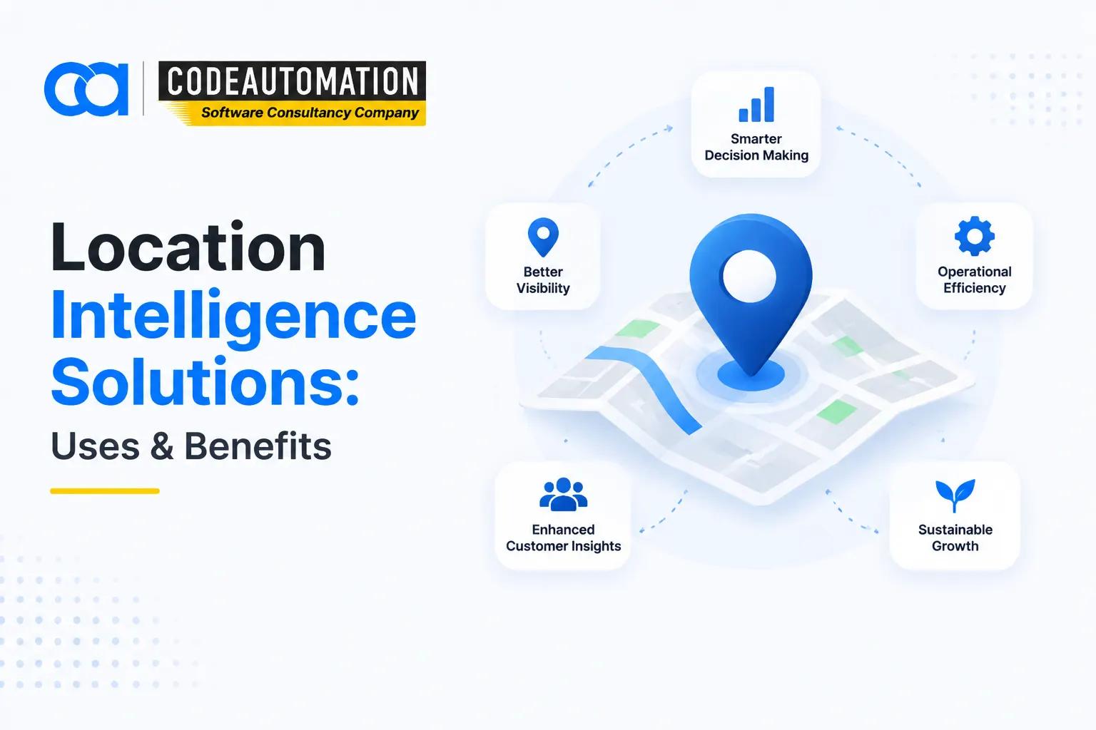
Location Intelligence Solutions: How Businesses Use Geospatial Data for Better Decisions
Published 10/09/2026
Roughly 80% of enterprise records carry a location attribute, a shipping address, a store ID, a device ping, or a claim coordinate and most of it sits unused in columns nobody joins on. That's the gap where location intelligence closes. It's the decision layer that sits above your spatial data infrastructure, taking cleaned geographic data and running the analytics, scoring, and visualization that answer commercial questions: where to expand, which routes to reroute, and which portfolios carry concentrated exposure. Where mapping tools show you what is, location intelligence tells you what to do about it.

Ready to Automate Your Success?
From AI-powered applications to scalable software development, we help businesses automate workflows and accelerate growth.
Book a Free ConsultationRoughly 80% of enterprise records carry a location attribute, a shipping address, a store ID, a device ping, or a claim coordinate and most of it sits unused in columns nobody joins on. That's the gap where location intelligence closes. It's the decision layer that sits above your spatial data infrastructure, taking cleaned geographic data and running the analytics, scoring, and visualization that answer commercial questions: where to expand, which routes to reroute, and which portfolios carry concentrated exposure. Where mapping tools show you what is, location intelligence tells you what to do about it.
What Are Location Intelligence Solutions?
Location intelligence solutions are analytics systems that derive business insight from the spatial relationships inside your data. They ingest geographic layers demographics, competitor footprints, mobility traces, asset positions and apply spatial analytics to produce ranked, quantified outputs: site scores, risk indices, catchment models, and demand forecasts by grid cell.
The workflow chains three things that usually live apart. Maps supply the geometry and context. Analytics engines compute proximity, density, overlap, and clustering. The decision layer surfaces results as scores and thresholds in whatever tool the business already uses. Without that last hop, spatial analysis stays an exhibit rather than an input.
Why Location Intelligence Matters for Businesses
Strategic planning improves when expansion decisions are backed by modeled catchment overlap instead of intuition. Market understanding sharpens when segmentation includes where customers actually move, not just where they're billed. Operationally, spatial signals expose route inefficiency, coverage gaps, and asset underutilization. Risk shrinks when exposure is measured against flood, seismic, and crime layers before capital is committed, not after.
How Do Location Intelligence Solutions Work?
The pipeline runs in five stages: location data collection → data processing → spatial analysis → visualization → business decision. Each stage narrows raw coordinates into something a stakeholder can act on.
Collecting Location-Based Data
Inputs span GPS and GNSS telemetry from fleets and mobile SDKs, first-party customer location records from transactions and app sessions, satellite and aerial imagery, census and third-party demographic panels, and IoT sensor streams from connected assets and infrastructure.
Processing and Analyzing Spatial Data
Processing resolves spatial relationships containment, adjacency, distance decay then surfaces geographic patterns through clustering, hot-spot detection, and spatial autocorrelation. Records are normalized to a common reference system and aggregated into analysis units like hex grids, catchments, or drive-time isochrones before location-based scoring runs.
Turning Location Data Into Business Insights
Outputs land as interactive maps with filterable layers, geographic dashboards tracking KPIs by territory, scheduled reports for regional leadership, and predictive scores that flag emerging opportunity or risk before it shows up in revenue.
Location Intelligence vs GIS: Understanding the Difference
GIS is the system of record for geographic data. It manages spatial databases, handles cartography and symbology, and gives specialists a workbench for querying and editing geometries. Its output is a map or a dataset.
Location intelligence builds on that foundation and applies business logic. Its output is a recommendation with a number attached a ranked shortlist, a probability, a projected uplift.
The distinction is clearest in the question each answers. GIS: "Where are our customers located?" Location intelligence: "Where should we open our next location, given customer demand, competitor saturation, drive-time accessibility, and demographic fit?" One returns a distribution; the other returns a decision with supporting evidence.
Key Components of Location Intelligence Solutions
Geospatial Data Sources
A working solution blends GPS traces, satellite imagery, demographic and psychographic panels, commercial business datasets like POI registries and competitor footprints, and IoT feeds from vehicles, meters, and field equipment.
Mapping and Visualization
Delivery runs on vector-tile-based interactive maps, geographic dashboards with cross-filtering between spatial and tabular views, and visualization patterns choropleths, heatmaps, and flow lines, chosen to match the analytical question.
Spatial Analytics
The analytical core covers location pattern detection, market and catchment analysis, geographic relationship modeling such as gravity and spatial interaction models, and predictive analysis that projects demand or risk forward by geography.
Data Integration
Value depends on connectivity: REST and GraphQL APIs, direct database connectors, CRM sync so territory and account data align with spatial layers, and ERP or field-service integration. Teams building these connective layers typically scope them alongside custom business intelligence and reporting solutions so spatial metrics share definitions with the rest of the reporting stack.
AI and Predictive Analytics
AI-powered insight generation, demand and risk forecasting, automated anomaly detection across geographies, and GeoAI capabilities that extract features directly from imagery push the system from descriptive to anticipatory.
Business Applications of Location Intelligence Solutions
Location Intelligence in Retail and Site Selection
Site scoring models weigh trade area overlap, competitor proximity, footfall patterns, and demographic fit to rank candidate locations and estimate cannibalization before a lease is signed.
Location Intelligence in Real Estate
Property evaluation blends comparables within dynamic radii, submarket absorption trends, transit accessibility, and zoning constraints to support acquisition and development planning decisions.
Location Intelligence in Transportation and Logistics
Route optimization against live network conditions, fleet utilization tracking by corridor, and delivery density modeling reduce cost per drop and improve promise-date accuracy.
Location Intelligence in Healthcare
Facility planning uses population health indicators and travel-time coverage to identify underserved catchments, guiding service line placement and resource allocation across a network.
Location Intelligence in Finance and Risk Management
Underwriters score portfolio exposure against hazard layers, fraud teams flag transactions with implausible location sequences, and lenders assess collateral risk with geographic granularity.
Location Intelligence in Marketing
Segmentation enriched with mobility and neighborhood context enables geofenced campaign targeting, share-of-wallet estimation by trade area, and measurable offline attribution.
How AI Is Transforming Location Intelligence
Machine learning shifts spatial analysis from retrospective reporting to forward-looking recommendations, predictive location analytics, automated pattern detection at scale, AI-generated narrative insights, and GeoAI models that interpret imagery and movement data without manual digitization.
Predictive Location Analytics
Models forecast customer behavior by geography, surface emerging opportunity zones before competitors commit, and feed scenario planning with quantified spatial projections.
Automated Geospatial Insights
Automation compresses analysis cycles from weeks to minutes, removes repetitive manual querying, and supports real-time decision triggers. Organizations often deliver this through machine learning model development and integration services rather than rebuilding analytics infrastructure internally.
Benefits of Location Intelligence Solutions
Decisions improve because they're grounded in modeled evidence rather than aggregate averages that hide geographic variance. Market understanding deepens as territories are evaluated on measurable spatial characteristics instead of legacy boundaries. Operational efficiency rises through optimized routing, coverage, and asset placement. Risk drops when hazard, concentration, and compliance exposure are quantified upfront. And growth opportunities become visible underserved catchments, whitespace corridors, expansion markets that tabular analysis simply cannot surface.
How Businesses Choose the Right Location Intelligence Solution
Define Business Objectives
Start with the specific decision under pressure expansion, consolidation, routing, underwriting and specify the insight required, its acceptable margin of error, and how often it must refresh.
Evaluate Data and Integration Requirements
Audit which spatial and business datasets already exist, where the gaps require third-party acquisition, and what API surface your CRM, ERP, and warehouse expose for two-way integration.
Consider Scalability and Customization
Assess whether the architecture holds as data volume and geographic scope grow, whether industry-specific workflows can be modeled without workarounds, and whether custom scoring logic can be embedded rather than approximated.
Why Businesses Need Custom Location Intelligence Development
Packaged platforms optimize for generic use cases. Custom development delivers dashboards built around your actual decision cadence, GIS integration that respects existing spatial infrastructure, connections into the systems your teams already operate in, and workflows encoded to industry logic insurance perils, retail trade areas, and logistics service levels. It also allows proprietary AI-powered spatial analytics to run on your data, which is where durable competitive advantage sits.
Build Location Intelligence Solutions for Your Business
Custom geospatial development turns scattered location data into a working decision system purpose-built location analytics platforms, GIS and AI integration layered over your existing stack, and spatial models engineered around the outcomes your business is measured on rather than generic templates. The approach starts from the decision, then builds the architecture that supports it.
Discuss Your Location Intelligence Project
Frequently Asked Questions (FAQs)
Everything you need to know about our products and services
They are analytics systems that turn geographic data into business decisions by applying spatial analysis, visualization, and predictive modeling to location-tagged records, producing scores and recommendations rather than maps alone.
GIS manages, stores, and analyzes geographic data and produces maps. Location intelligence consumes that data and applies business logic to it, generating actionable outputs such as site rankings, risk scores, and demand forecasts.
Retail, real estate, transportation and logistics, healthcare, insurance and financial services, telecommunications, utilities, energy, and marketing all rely on spatial analytics for planning, operations, and risk decisions.
GPS and mobility data, first-party customer location records, satellite and aerial imagery, demographic and census panels, commercial POI and competitor datasets, IoT sensor feeds, and internal transactional data with address or coordinate attributes.
AI enables predictive spatial analytics, automated pattern and anomaly detection across large geographies, feature extraction from imagery without manual digitization, and continuously updated insight delivery that removes the lag of manual analysis cycles.





Adnan Ghaffar is the visionary CEO of CodeAutomation.ai, a platform dedicated to transforming how businesses build software through cutting-edge automation. With over a decade of experience in software development, QA automation, and team leadership, Adnan has built a reputation for delivering scalable, intelligent, and high-performance solutions.
Under his leadership, CodeAutomation.ai has grown into a trusted name in AI-driven development, empowering startups and enterprises alike to streamline workflows, accelerate time-to-market, and maintain top-tier product quality. Adnan is passionate about innovation, process improvement, and building products that truly solve real-world problems.
More Articles
Top 10 AI Consulting Companies for SMBs in US (2026)

12 February 2026
Android App Development in 2026: A Complete Guide
16/09/2026
AI CRM Automation: AI Solutions That Integrate With Popular CRM Systems

29/09/2026
What Is Superintelligence? What Makes AI Superintelligent

16 April 2025
Can You QA Test an API? Here’s Everything You Need to Know
01/10/2026