





















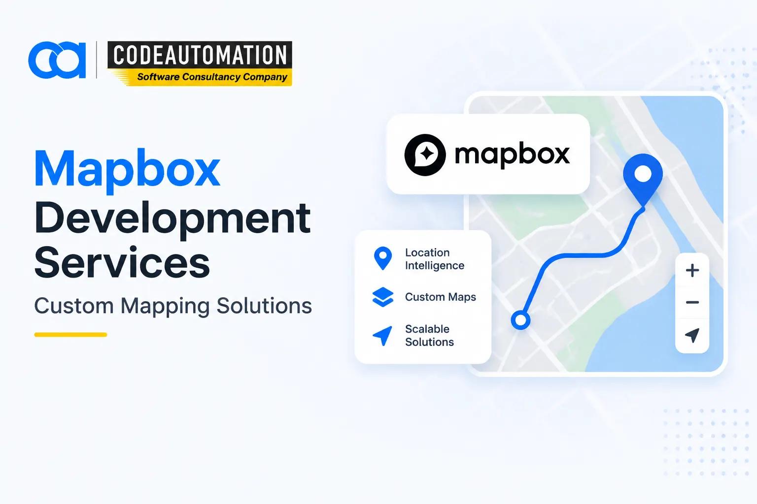
Mapbox Development Services: Building Custom Mapping and Location Solutions
Published 16/09/2026
Location intelligence has become a core component of modern software products. From logistics platforms and mobility applications to retail experiences and field-service systems, businesses increasingly need maps that do more than display geographic information.

Ready to Automate Your Success?
From AI-powered applications to scalable software development, we help businesses automate workflows and accelerate growth.
Book a Free ConsultationLocation intelligence has become a core component of modern software products. From logistics platforms and mobility applications to retail experiences and field-service systems, businesses increasingly need maps that do more than display geographic information.
Mapbox development enables organizations to build customized mapping, navigation, search, and location-aware experiences using Mapbox APIs, SDKs, and mapping technologies. Instead of embedding a basic map, development teams can integrate geospatial functionality directly into application workflows, business logic, and user interfaces.
Mapbox supports web and mobile mapping, navigation, routing, search, geocoding, and customizable map visualization.
What Are Mapbox Development Services?
Mapbox Development Services involve designing and developing custom software solutions using Mapbox APIs, SDKs, mapping services, and location technologies.
Developers can integrate interactive maps, routing engines, location search, geocoding, navigation, real-time tracking, and geospatial visualization into web and mobile applications. Mapbox provides dedicated services across Maps, Navigation, Search, and other API capabilities.
The difference between simply using a Mapbox product and developing a custom solution is the application logic surrounding the map. A custom implementation can connect geographic data with databases, APIs, business workflows, analytics systems, and real-time data streams.
Why Businesses Use Custom Mapbox Development
Businesses typically require Mapbox development when standard map implementations cannot support their application architecture or UX requirements.
Custom development enables:
- Brand-specific mapping experiences
- Custom location workflows
- Integration with internal business systems
- Advanced spatial visualization
- Real-time location functionality
- Application-specific routing and geospatial logic
This approach gives engineering teams greater control over how location intelligence is presented and consumed.
What Can You Build With Mapbox Development?
Mapbox can serve as a geospatial layer within many types of modern software products.
Interactive Web Mapping Applications
Developers can create custom web maps for data visualization, location-based dashboards, geographic analytics, asset monitoring, and customer-facing applications.
Mapbox Maps APIs support map tiles, static images, data uploads, tileset querying, and integrations through web and mobile SDKs.
Interactive interfaces can combine layers, markers, polygons, clustering, filters, search, and business data to create application-specific mapping experiences.
Mobile Mapping Applications
Mapbox can be integrated into iOS and Android applications for navigation, field operations, asset tracking, and location-aware workflows.
Mobile applications can incorporate real-time positioning, offline mapping, navigation interfaces, and location-based functionality while connecting map interactions to application logic.
Navigation and Route Optimization Solutions
Navigation-focused applications can use routing, directions, route matching, travel-time calculations, and optimization capabilities.
Mapbox Navigation services include Directions, Isochrone, Map Matching, Matrix, and Optimization APIs, supporting use cases ranging from turn-by-turn navigation to logistics route planning.
Location-Based Business Applications
Mapbox development can power store locators, delivery platforms, customer location experiences, fleet monitoring systems, and real-time tracking applications.
For example, a delivery platform can combine customer addresses, driver GPS positions, route calculations, delivery status, and estimated travel times within one application interface.
How Does Mapbox Development Work?
A production-ready Mapbox application typically follows a structured development workflow:
Business Requirements → Map Design and Data Planning → Mapbox API/SDK Integration → Application Development → Testing and Optimization → Deployment
Understanding Business and Mapping Requirements
The first stage defines application goals, user workflows, location requirements, geographic datasets, performance expectations, and required spatial functionality.
Engineering teams determine whether the application requires mapping, geocoding, navigation, real-time tracking, spatial visualization, or a combination of these capabilities.
Working With Mapbox APIs and SDKs
Developers select the APIs and SDKs for the product architecture.
These can include Maps APIs, Navigation APIs, Search and Geocoding services, and web or mobile SDKs. Mapbox Search supports address and place discovery, while its Geocoding API supports forward and reverse geocoding.
Integrating Mapbox With External Systems
Mapbox functionality rarely operates in isolation in enterprise applications. It can be connected to databases, backend services, ERP or CRM systems, IoT devices, real-time telemetry, and third-party platforms.
This makes the mapping layer part of the broader application architecture rather than an isolated visual component.
Testing and Optimizing Map Applications
Testing focuses on rendering performance, API behavior, location accuracy, responsiveness, usability, scalability, and data consistency.
Optimization may include efficient data loading, vector-tile strategies, request management, caching where permitted, responsive rendering, and mobile performance tuning.
Key Mapbox Technologies Used in Development
Mapbox Maps API
The Maps service supports interactive maps, map rendering, vector and raster tiles, static imagery, data visualization, and custom map experiences.
Developers can use Mapbox GL JS for web applications and Mapbox Maps SDKs for mobile implementations.
Mapbox Navigation Services
Mapbox Navigation services support routing, directions, turn-by-turn navigation, map matching, travel-time matrices, isochrones, and route optimization.
These capabilities are particularly useful for transportation, mobility, delivery, and fleet-management applications.
Mapbox Search and Geocoding
Search and geocoding functionality lets applications convert addresses and place names into coordinates and perform reverse geocoding from coordinates to geographic descriptions.
This enables address autocomplete, location discovery, coordinate lookup, proximity search, and location-aware workflows.
Mapbox Studio and Map Customization
Mapbox Studio enables developers and designers to customize map styles, visual hierarchy, colors, labels, layers, and geographic presentation.
Custom styling allows mapping interfaces to align with an application's brand and information architecture rather than relying on generic cartography.
Mapbox Development Applications Across Industries
Mapbox Solutions for Transportation and Logistics
Transportation companies can use Mapbox for fleet tracking, route optimization, dispatch systems, delivery management, ETA calculations, and driver navigation.
Mapbox Applications in Retail and E-commerce
Retail platforms can implement store locators, delivery tracking, service-area visualization, proximity-based experiences, and customer location search.
Mapbox Solutions for Travel and Mobility
Travel and mobility products can integrate navigation, route planning, location discovery, points of interest, and real-time geographic information.
Mapbox Applications in Real Estate
Real estate platforms can use interactive property maps, location-based search, geographic filtering, neighborhood visualization, and spatial property analysis.
Mapbox Solutions for Field Operations
Field-service applications can combine workforce tracking, asset locations, technician dispatch, route planning, and field data collection.
Organizations building more sophisticated spatial workflows can also combine Mapbox with custom geospatial application development services to connect mapping interfaces with spatial analytics, backend systems, and domain-specific geographic data.
Benefits of Mapbox Development Services
Custom Mapbox development provides several advantages for location-driven software:
- Custom location experiences
- Flexible map customization
- Better user engagement
- Real-time location capabilities
- Scalable mapping architecture
- Integration with existing systems
- Application-specific geospatial workflows
- Greater control over mapping UX
The primary advantage is that geographic functionality becomes integrated into the product architecture instead of functioning as a disconnected map widget.
Mapbox vs. Traditional Mapping Solutions
Traditional mapping implementations often provide standardized visualization with limited control over styling, interaction models, and application-specific workflows.
Traditional Mapping Solutions:
- Limited customization
- Standard visualization
- Restricted flexibility
Mapbox:
- Developer-focused platform
- Custom map experiences
- Flexible APIs and SDKs
- Better control over user experience
For products where mapping is a core feature rather than an accessory, this additional flexibility can be significant.
How Businesses Choose the Right Mapbox Development Approach
A successful Mapbox implementation starts with architecture rather than simply selecting an API.
Businesses should:
Define application and user requirements.
Identify required location features.
Select the appropriate Mapbox APIs and SDKs.
Plan geospatial data and system integrations.
Design for scalability, security, and maintainability.
Establish monitoring and ongoing optimization requirements.
The right architecture depends on whether the application requires basic visualization, sophisticated spatial analytics, navigation, real-time positioning, or multiple location services operating together.
Future of Mapbox Development
The future of Mapbox development is closely connected to the broader evolution of location intelligence.
Real-time location data, AI-powered geospatial analysis, advanced navigation, IoT telemetry, and personalized location experiences are creating increasingly intelligent mapping applications.
AI can enhance these systems by supporting predictive routing, anomaly detection, location recommendations, spatial pattern recognition, and context-aware experiences. Combined with IoT and geospatial technologies, mapping systems can increasingly operate as real-time decision-support layers rather than static visualization tools.
Frequently Asked Questions (FAQs)
Everything you need to know about our products and services
Mapbox development services involve building custom web and mobile applications using Mapbox APIs, SDKs, mapping services, navigation capabilities, search, geocoding, and location technologies.
Mapbox can be used to build interactive web maps, mobile mapping applications, navigation systems, route optimization platforms, store locators, delivery applications, fleet tracking systems, property maps, and other location-aware software.
Mapbox development can involve JavaScript and frameworks such as React for web applications, along with programming languages and SDK environments used for iOS and Android mobile development. Backend implementations can use technologies such as Node.js, Python, Java, or other languages depending on the application architecture.
Mapbox is strongly oriented toward developer-controlled mapping experiences, custom cartography, APIs, SDKs, and application-specific geospatial interfaces. The best platform depends on the project's geographic coverage, APIs, data requirements, customization needs, pricing model, and technical architecture.
Transportation, logistics, retail, e-commerce, travel, mobility, real estate, field services, fleet management, and other industries use location-based applications where mapping, routing, search, tracking, or geospatial visualization is important.





Adnan Ghaffar is the visionary CEO of CodeAutomation.ai, a platform dedicated to transforming how businesses build software through cutting-edge automation. With over a decade of experience in software development, QA automation, and team leadership, Adnan has built a reputation for delivering scalable, intelligent, and high-performance solutions.
Under his leadership, CodeAutomation.ai has grown into a trusted name in AI-driven development, empowering startups and enterprises alike to streamline workflows, accelerate time-to-market, and maintain top-tier product quality. Adnan is passionate about innovation, process improvement, and building products that truly solve real-world problems.
More Articles

29/09/2026
What Is Superintelligence? What Makes AI Superintelligent

16/ 05/ 2026
What Is Agentic AI? Understanding Autonomous AI Systems in 2026
17/09/2026
GeoAI for Real Estate: How Artificial Intelligence Is Transforming Property Decisions
Why Do 85% of AI Projects Fail? (And How to Be in Winning 15%)

29/09/2026
AI Agents vs Chatbots: Key Differences Explained
18/09/2026