























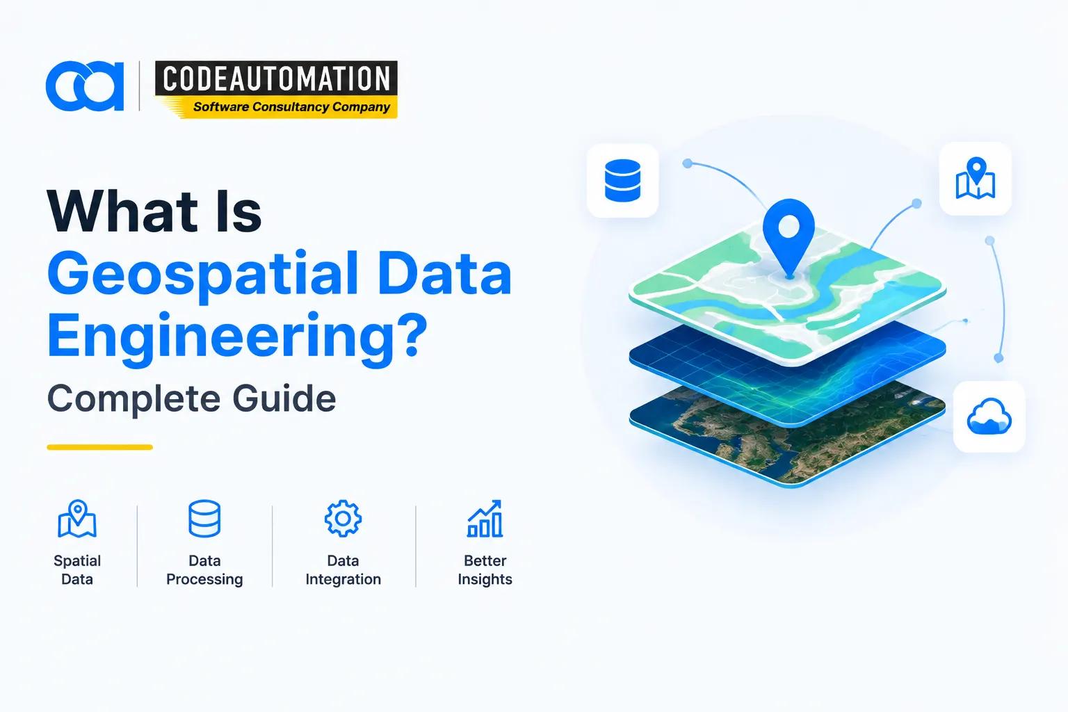
What Is Geospatial Data Engineering? A Complete Guide for Businesses
Published 09/09/2026
Every connected asset now emits coordinates. GPS trackers, IoT sensors, drone flights, satellite constellations, mobile SDKs, and cadastral registries push terabytes of location-tagged records into enterprise systems daily. The problem is rarely acquisition it's that this data arrives in mismatched projections, incompatible formats, and inconsistent geometries that break the moment they hit a standard relational warehouse. Geospatial data engineering is the discipline that closes that gap, converting raw coordinate feeds into governed, query-ready spatial assets that analysts and applications can actually consume.

Ready to Automate Your Success?
From AI-powered applications to scalable software development, we help businesses automate workflows and accelerate growth.
Book a Free ConsultationEvery connected asset now emits coordinates. GPS trackers, IoT sensors, drone flights, satellite constellations, mobile SDKs, and cadastral registries push terabytes of location-tagged records into enterprise systems daily. The problem is rarely acquisition it's that this data arrives in mismatched projections, incompatible formats, and inconsistent geometries that break the moment they hit a standard relational warehouse. Geospatial data engineering is the discipline that closes that gap, converting raw coordinate feeds into governed, query-ready spatial assets that analysts and applications can actually consume.
What Is Geospatial Data Engineering?
Understanding Geospatial Data Engineering in Simple Terms
It is the practice of designing pipelines, storage layers, and processing frameworks purpose-built for data with a spatial dimension—points, lines, polygons, and rasters where geometry, topology, and coordinate reference systems are first-class citizens rather than afterthoughts.
Why Geospatial Data Engineering Matters for Modern Businesses
Conventional ETL stacks treat coordinates as ordinary numeric columns, which quietly destroys spatial relationships. Without engineered pipelines, proximity queries, geofencing logic, and routing models return results that are technically valid but geographically wrong.
How Does Geospatial Data Engineering Work?
Collecting Geospatial Data From Multiple Sources
Ingestion spans satellite imagery archives, LiDAR point clouds, GNSS telemetry, OpenStreetMap extracts, municipal parcel records, and third-party APIs each with its own cadence, licensing model, and delivery protocol, from STAC catalogs to Kafka streams.
Cleaning and Preparing Spatial Data
Preparation means reprojecting to a common CRS, validating and repairing invalid geometries, deduplicating overlapping features, snapping topology, and geocoding unstructured address strings into resolvable coordinates with confidence scoring.
Transforming and Processing Geospatial Information
Transformation layers execute spatial joins, buffer and intersect operations, raster algebra, zonal statistics, and tessellation into indexing schemes like H3 or S2 typically distributed across Apache Sedona or GeoPandas workers orchestrated by Airflow or Dagster.
Storing and Managing Geospatial Data
Vector data lands in PostGIS or GeoParquet on object storage with GiST or R-tree indexes; imagery is stored as Cloud-Optimized GeoTIFFs so consumers can range-request tiles instead of pulling entire scenes.
Delivering Data for Analysis and Decision-Making
Serving happens through OGC-compliant APIs, vector tile endpoints, materialized views feeding BI dashboards, and feature stores that supply spatial predictors to downstream ML models.
Geospatial Data Engineering vs GIS: What Is the Difference?
Role of GIS in Managing Geographic Information
GIS platforms ArcGIS Pro and QGIS are the analysis and cartography layers. They excel at interactive exploration, symbology, and spatial analytics performed by domain specialists on curated datasets.
Role of Geospatial Data Engineering in Building Data Pipelines
Data engineering sits upstream. It handles ingestion frameworks, schema evolution, partitioning strategy, incremental refresh logic, lineage tracking, and the compute infrastructure that keeps petabyte-scale layers current and performant.
Why Businesses Need Both GIS and Data Engineering
GIS without engineered pipelines becomes a bottleneck of manual exports and stale shapefiles. Engineering without GIS produces well-governed data nobody interprets. Mature spatial programs run both as a single stack.
Key Components of Modern Geospatial Data Engineering
Spatial Databases and Data Management
PostGIS, BigQuery GIS, and Snowflake's geography types provide indexed spatial predicates, allowing ST_Intersects and ST_DWithin queries to execute in milliseconds across hundreds of millions of features.
Cloud-Based Geospatial Data Platforms
Managed platforms decouple storage from compute, letting teams scale processing clusters elastically for backfills and batch reprocessing while keeping cold imagery archives on inexpensive object storage tiers.
APIs and Data Integration
REST and GraphQL endpoints, OGC API-Features, and webhook-driven sync jobs push spatial context into CRMs, ERPs, and operational dashboards. Organizations building these connective layers often pair them with broader custom data analytics and pipeline development services so spatial feeds share the same governance model as the rest of the warehouse.
Satellite and Remote Sensing Data Processing
Pipelines handle atmospheric correction, cloud masking, band math for indices like NDVI, mosaicking, and change detection across multi-temporal stacks often chained into automated alerting on threshold breaches.
AI and Machine Learning for Geospatial Data
Semantic segmentation extracts building footprints and crop boundaries from imagery; graph models optimize routing; spatiotemporal forecasting predicts demand by grid cell. These workloads sit naturally alongside machine learning model development and deployment services already running in production.
Real-World Applications of Geospatial Data Engineering
Geospatial Data Engineering in Real Estate
Automated valuation models blend parcel geometry, zoning overlays, transit isochrones, and comparable sales within dynamic radii to score properties at portfolio scale.
Geospatial Data Engineering in Transportation and Logistics
Fleet telemetry, live traffic graphs, and geofenced depot events feed route optimization engines and ETA models, cutting empty miles and dwell time across distribution networks.
Geospatial Data Engineering in Environmental Management
Multi-temporal satellite stacks detect deforestation, flood extent, and emissions plumes, converting imagery differentials into auditable compliance reporting.
Geospatial Data Engineering in Urban Planning
Planners model density, service coverage gaps, utility networks, and infrastructure load using integrated cadastral, demographic, and mobility layers.
Geospatial Data Engineering in Agriculture
Variable-rate application maps combine soil sampling grids, yield monitor logs, and vegetation indices to drive prescription files directly into machinery controllers.
Benefits of Geospatial Data Engineering for Businesses
Improved Data Accuracy and Reliability
Automated geometry validation, CRS enforcement, and referential checks eliminate the silent coordinate drift that corrupts downstream analytics.
Faster Access to Location-Based Insights
Pre-computed spatial aggregates and tiled indexes collapse query times from minutes to sub-second, making interactive map exploration viable on production datasets.
Automated Spatial Data Processing
Scheduled DAGs replace manual desktop exports, so refresh cycles run nightly or in near real time without analyst intervention.
Better Decision-Making Through Location Intelligence
Spatial context surfaces relationships clustering, adjacency, accessibility that tabular analysis structurally cannot expose.
Scalable Management of Large Spatial Datasets
Partitioning by geohash and time, plus columnar formats, keeps performance flat as volumes grow from gigabytes to petabytes.
Common Challenges in Managing Geospatial Data
Handling Large and Complex Spatial Datasets
Raster archives and high-frequency GPS traces outgrow single-node processing fast, forcing a shift to distributed spatial compute frameworks.
Maintaining Data Quality and Consistency
Self-intersecting polygons, null geometries, and mixed datums propagate silently unless validation gates are enforced at every pipeline stage.
Integrating Multiple Data Sources
Reconciling vendor schemas, update frequencies, and licensing constraints into a unified feature model is often the longest phase of any spatial program.
Managing Security and Data Accessibility
Precise location data is frequently PII-adjacent, demanding row-level security, aggregation thresholds, and audited access controls.
How Businesses Can Build a Geospatial Data Strategy
Identify Business Goals and Data Requirements
Start from the decision being made site selection, route planning, risk scoring then work backward to the minimum viable resolution, refresh rate, and accuracy tolerance.
Choose the Right Geospatial Technologies
Match the stack to the workload profile: PostGIS for transactional vector work, Sedona for distributed batch, and cloud-native raster formats for imagery-heavy pipelines.
Develop Scalable Data Infrastructure
Containerized processing, infrastructure-as-code, and observability on pipeline SLAs keep spatial workloads maintainable as scope expands.
Connect Geospatial Data With Business Systems
Location intelligence delivers value only when it reaches the ERP, CRM, or operational dashboard where decisions actually happen.
Why Businesses Need Geospatial Data Engineering Services
Building Custom Spatial Data Solutions
Off-the-shelf GIS rarely fits proprietary data models, requiring purpose-built ingestion and transformation logic.
Developing Automated Geospatial Data Pipelines
Production-grade orchestration, retry semantics, and incremental processing separate a prototype notebook from a system operations team that can depend on it.
Integrating GIS, AI, and Business Applications
Bridging spatial engines, ML services, and enterprise applications is an integration problem best solved with dedicated AI-driven business process automation solutions engineered around existing systems.
Transform Geospatial Data Into Business Intelligence
Custom geospatial data engineering turns fragmented coordinate feeds into a governed spatial layer your organization can build on automated ingestion from satellite, sensor, and third-party sources; validated geometries under a single reference system; and indexed storage that keeps complex spatial queries fast at scale. The outcome is location intelligence embedded directly in the tools your teams already use.
Discuss Your Geospatial Data Project
Frequently Asked Questions (FAQs)
Everything you need to know about our products and services
It is the design and operation of pipelines, storage systems, and processing frameworks built specifically for location-based data, ensuring geometry, topology, and coordinate reference systems are preserved from ingestion through delivery.
GIS handles spatial analysis, visualization, and cartography on prepared datasets. Geospatial data engineering builds the upstream infrastructure ingestion, transformation, indexing, and serving that keeps those datasets accurate, current, and performant at scale.
Vector data such as points, lines, and polygons; raster data including satellite and aerial imagery; LiDAR point clouds; GNSS and IoT telemetry streams; cadastral and administrative boundaries; and geocoded address or transactional records.
Real estate, transportation and logistics, agriculture, insurance, telecommunications, utilities, energy, environmental monitoring, retail site selection, defense, and public sector urban planning all depend on engineered spatial pipelines.
Because spatial workloads break standard data stacks. Dedicated services deliver correct projections, validated geometries, distributed processing for large raster and vector volumes, and integration that pushes location intelligence into operational systems rather than isolated map viewers.





Adnan Ghaffar is the visionary CEO of CodeAutomation.ai, a platform dedicated to transforming how businesses build software through cutting-edge automation. With over a decade of experience in software development, QA automation, and team leadership, Adnan has built a reputation for delivering scalable, intelligent, and high-performance solutions.
Under his leadership, CodeAutomation.ai has grown into a trusted name in AI-driven development, empowering startups and enterprises alike to streamline workflows, accelerate time-to-market, and maintain top-tier product quality. Adnan is passionate about innovation, process improvement, and building products that truly solve real-world problems.
More Articles

03/ 05/ 2026
AI Agent for Operations: Simplify Complex Workflows in 2026

17 March 2026
Step-by-Step Guide to Mobile App Development

03/ 23/ 2026
CMS development services: How to manage content efficiently

15/ 04/ 2026
AI virtual assistants for business: Use cases and benefits

17 January 2026
Regression Testing in Software Testing: A Comprehensive Guide

29/09/2026