























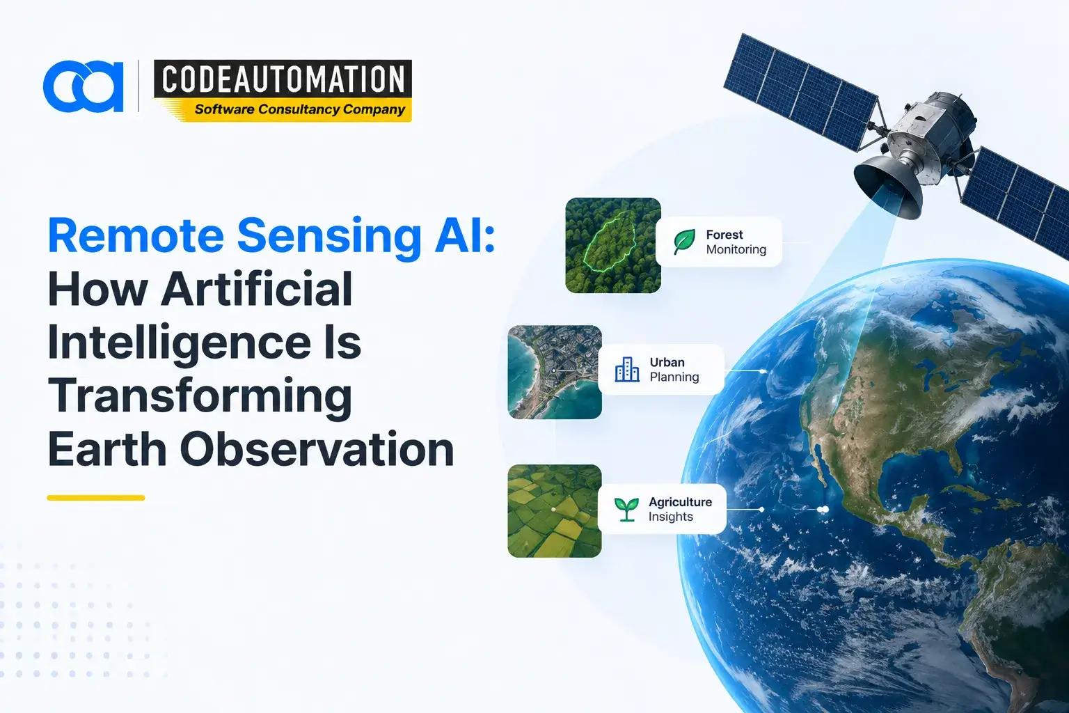
Remote Sensing AI How Artificial Intelligence Is Transforming Earth Observation
Published 11/09/2026
Commercial constellations now image the entire landmass of the planet on a sub-daily revisit cadence, pushing petabytes of multispectral, hyperspectral, and SAR data into public and private archives every week. The bottleneck was never capture; it was interpretation. Manual photointerpretation and hand-tuned spectral thresholds simply cannot scale to continental coverage at that refresh rate. Remote sensing AI closes that gap, applying computer vision and deep learning directly to Earth observation imagery so that classification, detection, and change analysis run as automated inference pipelines rather than analyst hours.

Ready to Automate Your Success?
From AI-powered applications to scalable software development, we help businesses automate workflows and accelerate growth.
Book a Free ConsultationCommercial constellations now image the entire landmass of the planet on a sub-daily revisit cadence, pushing petabytes of multispectral, hyperspectral, and SAR data into public and private archives every week. The bottleneck was never capture; it was interpretation. Manual photointerpretation and hand-tuned spectral thresholds simply cannot scale to continental coverage at that refresh rate. Remote sensing AI closes that gap, applying computer vision and deep learning directly to Earth observation imagery so that classification, detection, and change analysis run as automated inference pipelines rather than analyst hours.
What Is Remote Sensing AI?
Remote sensing is the acquisition of information about Earth's surface without physical contact, passive optical sensors capturing reflected solar radiation across visible, near-infrared, and shortwave-infrared bands, or active systems like synthetic aperture radar and LiDAR emitting their own signal and measuring return.
Artificial intelligence enters at the interpretation layer. Instead of encoding fixed spectral rules, convolutional and transformer-based models learn the relationship between pixel patterns and real-world features from labeled training data. That shift matters because it captures spatial context, texture, shape, and adjacency, not just per-pixel spectral signatures, which is why AI-based classification consistently outperforms threshold methods in heterogeneous landscapes.
How Remote Sensing and Artificial Intelligence Work Together
Satellite imagery supplies the raw signal: georeferenced, multi-band raster arrays with known ground sample distance. AI models consume that signal as tiled chips and return structured predictions, class masks, bounding boxes, and probability rasters. Automated analysis runs those models across full scenes on GPU clusters, while pattern recognition surfaces features no fixed rule set would catch: informal settlement expansion, subtle canopy stress, and unpermitted excavation. The output is data-driven insight in vector form, ready to join against business systems.
How Does Remote Sensing AI Work?
Collecting Remote Sensing Data
Acquisition spans public satellite programs like Sentinel-2 and Landsat, commercial very-high-resolution providers, UAV and drone flights for centimeter-scale capture, fixed and mobile IoT sensors for ground truth, and aerial survey imagery. Earth observation catalogs increasingly expose this through STAC APIs, letting pipelines query by geometry, date range, and cloud cover rather than downloading full archives.
Preparing and Processing Remote Sensing Data
Preprocessing is where most projects succeed or fail. Radiometric calibration converts digital numbers to surface reflectance, atmospheric correction removes aerosol and water-vapor distortion, and orthorectification corrects terrain-induced displacement against a DEM. Cleaning handles cloud and shadow masking, sensor artifacts, and no-data gaps. Enhancement covers pan-sharpening and band-index derivation such as NDVI or NDWI. Dataset preparation then chips scenes into fixed tiles, normalizes band statistics, and applies augmentation before training.
Applying AI Models to Analyze Imagery
Classical machine learning, random forests, and and gradient boosting on spectral features still hold for tabular pixel classification with limited labels. Deep learning takes over for spatial tasks: U-Net and its variants for semantic segmentation, Mask R-CNN for instance segmentation, and vision transformers for large-context scene understanding. Geospatial foundation models pretrained on unlabeled imagery now allow fine-tuning with far fewer annotated samples, which is decisive given how expensive labeling remote sensing data is.
Generating Insights From Remote Sensing Data
Inference outputs fall into four patterns: object detection returning georeferenced bounding boxes for vessels, vehicles, or structures; image classification assigning land-cover or land-use categories per tile or pixel; change detection differencing co-registered multi-temporal stacks to flag additions, removals, and degradation; and predictive analysis projecting yield, spread, or risk forward from historical time series.
Remote Sensing vs GIS vs GeoAI: Understanding the Difference
Remote sensing is the sensing layer; it collects information about Earth's surface using satellite, aerial, and drone-mounted sensors. GIS is the management layer, storing, analyzing, and visualizing geographic data across vector and raster formats. GeoAI is the reasoning layer, applying machine learning to spatial data to automate what previously required manual interpretation.
A concrete example: a utility monitoring transmission corridors uses remote sensing to acquire monthly high-resolution imagery of the right-of-way. GeoAI runs a segmentation model over that imagery to detect encroaching vegetation and classify canopy height against clearance thresholds. GIS stores the resulting polygons against the asset register, symbolizes violations by severity, and generates the work orders dispatched to field crews. Remove any one layer and the workflow reverts to helicopter patrols and clipboards.
AI Technologies Used in Remote Sensing
Image Classification
Models assign categorical labels to imagery at the pixel, patch, or scene level. Applied to land use and land cover, this produces the classified rasters underpinning environmental monitoring, zoning compliance, and habitat mapping at a national scale.
Object Detection
Detection models localize discrete features within scenes, buildings, solar arrays, storage tanks, vehicles, and aircraft. Infrastructure inventories that once required manual digitization now build automatically, with confidence scores attached for downstream triage.
Change Detection
Bi-temporal and multi-temporal architectures compare co-registered scenes to isolate genuine surface change from illumination, seasonal, and sensor variation. This is the backbone of deforestation alerting, construction monitoring, and post-event damage assessment.
Deep Learning for Satellite Image Analysis
Encoder-decoder CNNs and transformer backbones handle large-scale raster processing through tiled inference with overlap stitching, extracting complex patterns across spectral bands that spectral indices alone cannot separate. Deploying these reliably in production is an engineering problem as much as a modeling one, which is why teams typically scope it with dedicated machine learning model development and deployment services rather than leaving research notebooks to carry operational load.
Applications of Remote Sensing AI
Agriculture and Crop Monitoring
Vegetation index time series detect crop stress weeks before visual symptoms appear, yield prediction models combine phenology curves with weather reanalysis, and precision agriculture translates zone-level outputs into variable-rate prescription files.
Environmental Monitoring
Climate analysis draws on long-baseline archives for land surface temperature and albedo trends. Forest monitoring tracks canopy loss and regrowth, and ecosystem assessment quantifies wetland extent, biodiversity proxies, and habitat fragmentation.
Urban Planning and Smart Cities
Land-use analysis classifies built-up versus permeable surface, urban growth monitoring measures sprawl trajectory across decades, and infrastructure planning uses extracted building footprints and road networks to model service demand.
Infrastructure Monitoring
Road condition assessment, rooftop and structure inventories, utility corridor inspection, and asset integrity checks run on scheduled imagery. InSAR adds millimeter-scale ground deformation detection for subsidence around pipelines, rail, and dams.
Disaster Management
SAR penetrates cloud cover to map flood extent within hours of an event. Thermal bands detect active fire fronts, and pre/post change models produce damage assessments that route emergency resources faster than ground surveys.
Mining and Natural Resource Management
Hyperspectral data supports mineral and lithological mapping, site monitoring tracks pit progression and tailings dam stability, and environmental impact analysis quantifies disturbance footprint against permit boundaries.
Benefits of Using AI in Remote Sensing
Inference collapses analysis timelines from weeks to minutes, turning imagery into decision input while it is still current. Automated processing removes the manual digitization and visual interpretation that dominate analyst workload. Coverage scales without linear headcount, making continental and global monitoring economically viable. Accuracy improves because models learn spatial context rather than applying static thresholds. And decision quality rises when operations, risk, and compliance teams receive consistent, timestamped, auditable evidence rather than intermittent field reports.
Challenges of Remote Sensing AI
Data quality remains the primary constraint; cloud cover, atmospheric haze, off-nadir viewing geometry, and sensor drift all degrade input. Model accuracy suffers from domain shift when a model trained in one region or season is applied elsewhere, and from severe label sparsity in specialized classes. Compute requirements are substantial: full-scene inference over large areas of interest demands GPU capacity and carefully engineered tiling. Data availability varies with revisit cadence, licensing cost, and export restrictions. And human validation stays mandatory in high-stakes contexts, since a confident false positive on a damage assessment or compliance flag carries real consequences.
Future of Remote Sensing AI
The trajectory points toward near real-time Earth observation as constellation density increases and onboard edge inference filters data before downlink. Geospatial foundation models are reducing task-specific labeling requirements sharply. Automated geospatial intelligence pipelines will chain acquisition, inference, and alerting with no human in the loop until a threshold is crossed. And integration deepens, imagery-derived features fusing with IoT telemetry, digital twins, and enterprise systems into a single operational picture.
How Businesses Can Use Remote Sensing AI
Organizations with geographically distributed assets or land-based exposure benefit first: monitoring large-scale operations without field deployment, extracting quantitative features from imagery archives that already exist, and improving decisions with evidence refreshed on a known cadence. The value only materializes when outputs reach operational systems, so integration into ERP, asset management, and reporting layers should be designed alongside the models, an approach that pairs naturally with custom AI software development and system integration services built around existing infrastructure rather than replacing it.
Frequently Asked Questions (FAQs)
Everything you need to know about our products and services
It is the application of machine learning and computer vision to Earth observation data, automating the classification, detection, and change analysis of satellite, aerial, and drone imagery that previously required manual interpretation.
AI learns spatial and spectral patterns from training data instead of relying on fixed thresholds, enabling accurate analysis at scales and speeds manual photointerpretation cannot reach while maintaining consistency across scenes and time periods.
Multispectral and hyperspectral optical imagery, synthetic aperture radar, LiDAR point clouds, thermal bands, drone and aerial survey captures, plus ancillary layers such as digital elevation models, weather reanalysis, and ground-truth sensor readings.
Agriculture, forestry, mining and energy, insurance and reinsurance, utilities and telecommunications, construction, logistics, environmental consultancy, urban planning, defense, and public sector disaster response.
Remote sensing is a data-acquisition method that captures surface information via sensors. GeoAI is the analytical method, applying artificial intelligence to spatial data, including but not limited to remotely sensed imagery.





Adnan Ghaffar is the visionary CEO of CodeAutomation.ai, a platform dedicated to transforming how businesses build software through cutting-edge automation. With over a decade of experience in software development, QA automation, and team leadership, Adnan has built a reputation for delivering scalable, intelligent, and high-performance solutions.
Under his leadership, CodeAutomation.ai has grown into a trusted name in AI-driven development, empowering startups and enterprises alike to streamline workflows, accelerate time-to-market, and maintain top-tier product quality. Adnan is passionate about innovation, process improvement, and building products that truly solve real-world problems.
More Articles
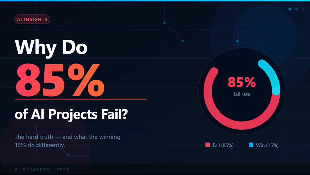
Why Do 85% of AI Projects Fail? (And How to Be in Winning 15%)
18/09/2026
GIS Solutions for Logistics: How Geospatial Technology Improves Supply Chain Operations

27/08/2026
What Is CRM Integration? A Complete Guide for Businesses

19/08/2026
How Much Does Custom Software Development Cost in 2026?

09/09/2026
What Are the Top AI Business Automation Tools for Small Businesses

01/09/2026