























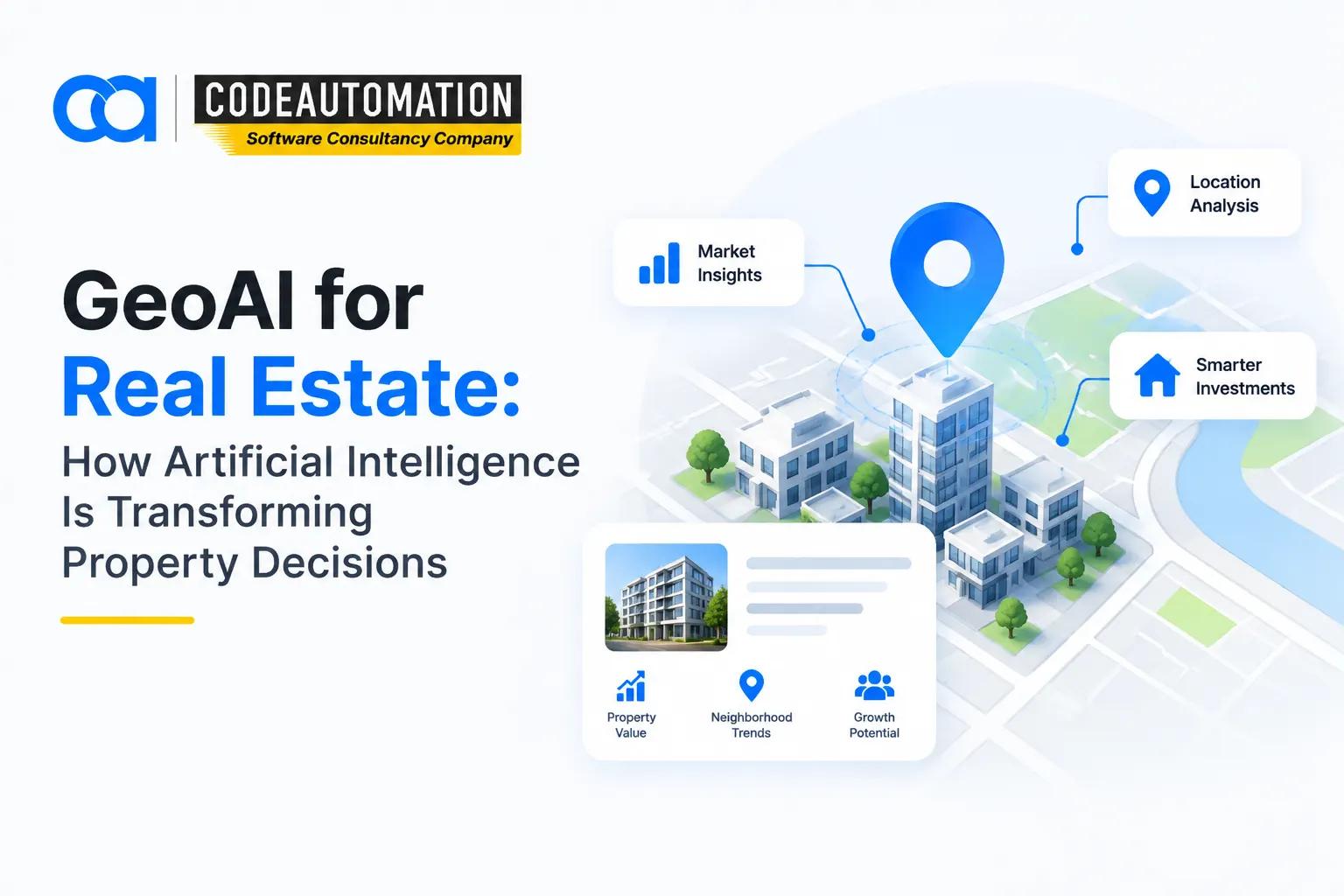
GeoAI for Real Estate: How Artificial Intelligence Is Transforming Property Decisions
Published 17/09/2026
Artificial intelligence and geospatial technologies are changing how real estate companies evaluate properties, analyze markets, and select development sites. Traditional property research often depends on fragmented datasets, manual analysis, static reports, and limited visibility into geographic relationships.
Artificial intelligence and geospatial technologies are changing how real estate companies evaluate properties, analyze markets, and select development sites. Traditional property research often depends on fragmented datasets, manual analysis, static reports, and limited visibility into geographic relationships.
GeoAI for real estate combines artificial intelligence, machine learning, computer vision, satellite imagery, maps, and spatial data to turn complex location information into actionable insights. Real estate organizations can analyze properties at scale, identify patterns, assess risks, and support investment decisions using AI-powered location intelligence.
What Is GeoAI in Real Estate?
GeoAI in real estate refers to the application of artificial intelligence and geospatial analytics to property, location, market, and environmental data. It enables systems to detect spatial patterns, classify properties, analyze geographic relationships, and generate predictive insights.
GeoAI can process satellite and aerial imagery alongside property records, demographics, transportation networks, environmental datasets, and market information. This creates a more comprehensive view of a property's physical and geographic context.
For organizations building these capabilities, custom geospatial AI solutions for real estate property analysis can connect AI models with proprietary datasets, GIS workflows, imagery pipelines, and business applications.
How GeoAI Differs From Traditional Real Estate Analysis
Traditional real estate analysis commonly involves manual property research, static reports, spreadsheets, and limited geographic context. This approach can become difficult to scale when thousands of properties or multiple markets need to be evaluated.
GeoAI introduces automated spatial analysis, machine-learning models, computer vision, and predictive location intelligence. Instead of analyzing properties individually, organizations can process large geographic datasets and identify relevant patterns programmatically.
How Does GeoAI Work in Real Estate?
A typical GeoAI workflow connects geospatial data pipelines with AI and spatial analytics:
Geospatial Data Collection → AI Processing → Spatial Analysis → Property Insights → Decision Making
Collecting Real Estate and Location Data
GeoAI systems can ingest multiple data layers, including:
- Satellite and aerial imagery
- Property and parcel data
- Demographic information
- Road and transportation networks
- Traffic patterns
- Environmental and climate data
- Land-use and zoning information
- Market and transaction datasets
Combining these layers provides the spatial context required for meaningful property analysis.
Analyzing Property and Location Information
Machine learning and geospatial models can detect patterns across large datasets. Common analytical tasks include land-use classification, property feature extraction, location scoring, accessibility analysis, and market segmentation.
Spatial relationships are particularly valuable because property performance is influenced by surrounding infrastructure, demographics, competitors, amenities, transportation, and environmental conditions.
Generating AI-Powered Real Estate Insights
The processed data can support property valuation, site recommendations, risk identification, and investment analysis. AI models can rank locations according to configurable criteria and surface relationships that may be difficult to identify through manual research.

Ready to Automate Your Success?
From AI-powered applications to scalable software development, we help businesses automate workflows and accelerate growth.
Book a Free ConsultationApplications of GeoAI in Real Estate
AI-Powered Property Assessment
Computer vision can analyze imagery to identify buildings, rooftops, parcels, roads, vegetation, construction activity, and other physical features. This enables automated property assessment and large-scale portfolio monitoring.
Models can also support building-condition analysis and detect changes across imagery captured at different points in time.
Smart Site Selection and Development Planning
GeoAI can evaluate potential development sites against demographic, accessibility, infrastructure, land-use, environmental, and market variables.
Developers can use location scoring and spatial modeling to identify areas with specific characteristics and compare development feasibility across multiple sites.
Real Estate Market Analysis
AI models can combine historical transactions, demographic changes, accessibility, development activity, and other spatial variables to identify market trends.
These capabilities can support demand forecasting, location-performance analysis, market segmentation, and identification of emerging investment areas.
Property Valuation and Risk Assessment
GeoAI can supplement valuation workflows by incorporating geographic variables that influence property performance. Models can examine proximity to infrastructure, environmental conditions, neighborhood characteristics, development patterns, and other location-based factors.
Risk models can also flag geographic factors associated with environmental exposure, market volatility, or infrastructure constraints.
Urban Planning and Land Management
Cities and real estate organizations can use GeoAI for land-use classification, infrastructure planning, development monitoring, and urban-growth modeling.
Analyzing historical and current spatial data can help planners understand expansion patterns and evaluate potential infrastructure requirements.
Commercial Real Estate Intelligence
Commercial real estate teams can use GeoAI to compare retail and business locations based on accessibility, demographics, surrounding businesses, traffic patterns, and potential customer catchments.
Location intelligence can support retail site selection, foot-traffic analysis, tenant strategy, and geographic market comparison.
How GeoAI Helps Real Estate Companies Make Better Decisions
GeoAI can improve real estate workflows by reducing repetitive analysis and making geographic intelligence more accessible across large property portfolios.
Key benefits include:
- Faster property analysis: Automates repetitive spatial and imagery-based tasks.
- Improved location intelligence: Combines multiple geographic datasets into a unified analytical view.
- Reduced manual research: Uses AI to extract features and identify patterns automatically.
- Better investment decisions: Provides additional quantitative inputs for property and market evaluation.
- Data-driven planning: Connects geographic context with business and development objectives.
- Scalable property evaluation: Enables portfolio-wide analysis rather than isolated property reviews.
Key Technologies Behind GeoAI in Real Estate
Artificial Intelligence and Machine Learning
Machine-learning models support pattern recognition, classification, prediction, anomaly detection, and automated decision support. Models can be trained on historical property and geographic datasets to identify relationships relevant to specific real estate use cases.
Satellite and Aerial Imagery Analysis
AI-powered image processing can extract information from high-resolution satellite and aerial imagery. Applications include building detection, land-use classification, construction monitoring, and change detection.
Computer Vision for Property Insights
Computer vision enables object detection and image classification across geographic imagery. Models can identify buildings, roads, parking areas, infrastructure, vegetation, and other property-related features.
Geospatial Analytics
Geospatial analytics evaluates location, proximity, spatial relationships, geographic patterns, and accessibility. When combined with AI, these capabilities can transform GIS datasets into predictive and automated location intelligence.
GeoAI Use Cases for Different Real Estate Segments
Residential Real Estate
Residential organizations can use GeoAI for property search optimization, neighborhood analysis, accessibility scoring, and buyer insights. Location-based models can help evaluate properties according to proximity to schools, transportation, amenities, and other relevant features.
Commercial Real Estate
Commercial teams can analyze potential locations using demographics, accessibility, competition, traffic patterns, and market conditions. This supports location evaluation, tenant analysis, and market opportunity identification.
Real Estate Developers
Developers can apply GeoAI to land assessment, site feasibility, development planning, zoning analysis, and infrastructure evaluation. Automated spatial analysis can accelerate the comparison of potential development sites.
Real Estate Investors
Investors can use location intelligence to evaluate market conditions, geographic risks, property characteristics, and development trends. Predictive models can provide additional analytical inputs for investment research and portfolio strategy.
Challenges of Using GeoAI in Real Estate
GeoAI adoption also introduces technical and operational challenges. Data quality is critical because incomplete, outdated, or inconsistent property datasets can reduce model reliability.
Organizations may also face limited access to accurate property information, model-validation requirements, and integration challenges when connecting GeoAI systems with existing GIS, CRM, ERP, property-management, or analytics platforms.
Human validation remains important, particularly for high-value property, investment, valuation, and development decisions. AI should generally augment expert analysis rather than eliminate appropriate review processes.
The Future of GeoAI in Real Estate
The next generation of real estate intelligence will increasingly combine AI with continuously updated geospatial data. Emerging applications include AI-driven property intelligence, automated property assessment, predictive market analysis, digital twins, and near-real-time location insights.
As imagery, sensor networks, property databases, and AI models become more integrated, real estate organizations can move from periodic geographic analysis toward continuously updated spatial intelligence.
How Businesses Can Leverage GeoAI for Real Estate Insights
Businesses can build GeoAI capabilities by combining proprietary property data with AI models, geospatial databases, imagery pipelines, and spatial analytics. A practical architecture may connect data ingestion, geospatial processing, computer vision, machine learning, APIs, and visualization layers into a unified workflow.
Custom solutions can also integrate GeoAI into existing enterprise systems, allowing property teams to access location intelligence within the applications and dashboards they already use.
The objective is not simply to add AI to a GIS workflow. It is to create an intelligent geospatial system capable of converting complex location data into repeatable, scalable decision-support signals.
Frequently Asked Questions (FAQs)
Everything you need to know about our products and services
GeoAI in real estate combines artificial intelligence with geospatial data to analyze properties, locations, markets, infrastructure, and environmental factors. It can automate spatial analysis, identify geographic patterns, and generate location-based insights.
GeoAI can analyze satellite and aerial imagery using computer vision to identify buildings, property features, land use, construction activity, and physical changes. These capabilities support automated property assessment and portfolio-scale monitoring.
Yes. GeoAI can compare potential locations using demographics, accessibility, transportation, competition, land use, environmental conditions, and market data. AI-powered location scoring can help organizations systematically evaluate multiple sites.
GeoAI can use satellite imagery, aerial imagery, parcel and property data, demographics, transportation networks, traffic patterns, environmental datasets, zoning information, and market or transaction data. The specific data stack depends on the business objective.
Traditional GIS primarily supports mapping, spatial querying, visualization, and geographic analysis. GeoAI extends these capabilities with machine learning, computer vision, predictive modeling, and automation, enabling systems to extract patterns and generate insights from large geospatial datasets.





Adnan Ghaffar is the visionary CEO of CodeAutomation.ai, a platform dedicated to transforming how businesses build software through cutting-edge automation. With over a decade of experience in software development, QA automation, and team leadership, Adnan has built a reputation for delivering scalable, intelligent, and high-performance solutions.
Under his leadership, CodeAutomation.ai has grown into a trusted name in AI-driven development, empowering startups and enterprises alike to streamline workflows, accelerate time-to-market, and maintain top-tier product quality. Adnan is passionate about innovation, process improvement, and building products that truly solve real-world problems.
More Articles

25/ 11/ 2025
A Complete Guide to How Vibe Coding Works in Modern AI Workflows
14/09/2026
Geospatial Analytics How Businesses Use Location Data for Better Decisions

02/10/2026
What Is an Intelligence Explosion and How Could It Happen?

22/08/2026
What are the benefits of custom software?

16/09/2026
AI CRM Automation: AI Solutions That Integrate With Popular CRM Systems

19/08/2026